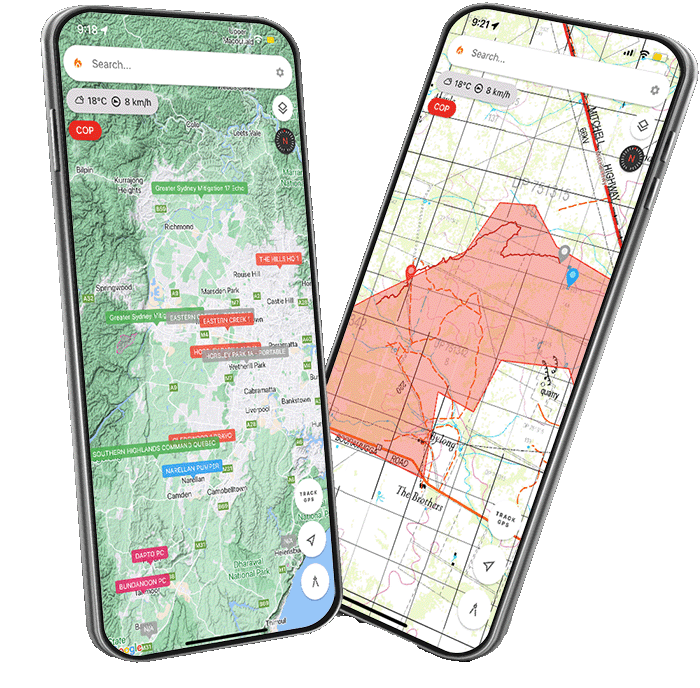
Realtime shared maps supporting Australiasian All-Hazard (AU/NZ) and National Wildfire Coordinating Group symbology (US).
Ember Map has many powerful features to enhance your situational awareness on the fireground.
Shared Mapping
Share maps with team members and collaborate in realtime, or offline for when you're out of service.
Satellite Hotspots
Realtime worldwide satellite hotspot data from NASA's FIRMS system.
Premium Topographic Maps
Worldwide topographic maps including for Australia, New Zealand and the United States.


