Enhance your brigade's situational awareness with tailored features.
Real-Time Information
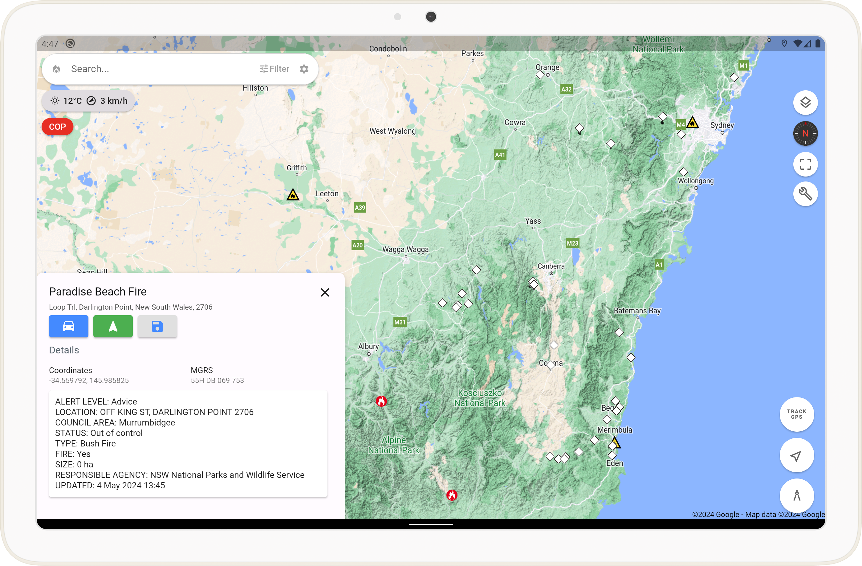
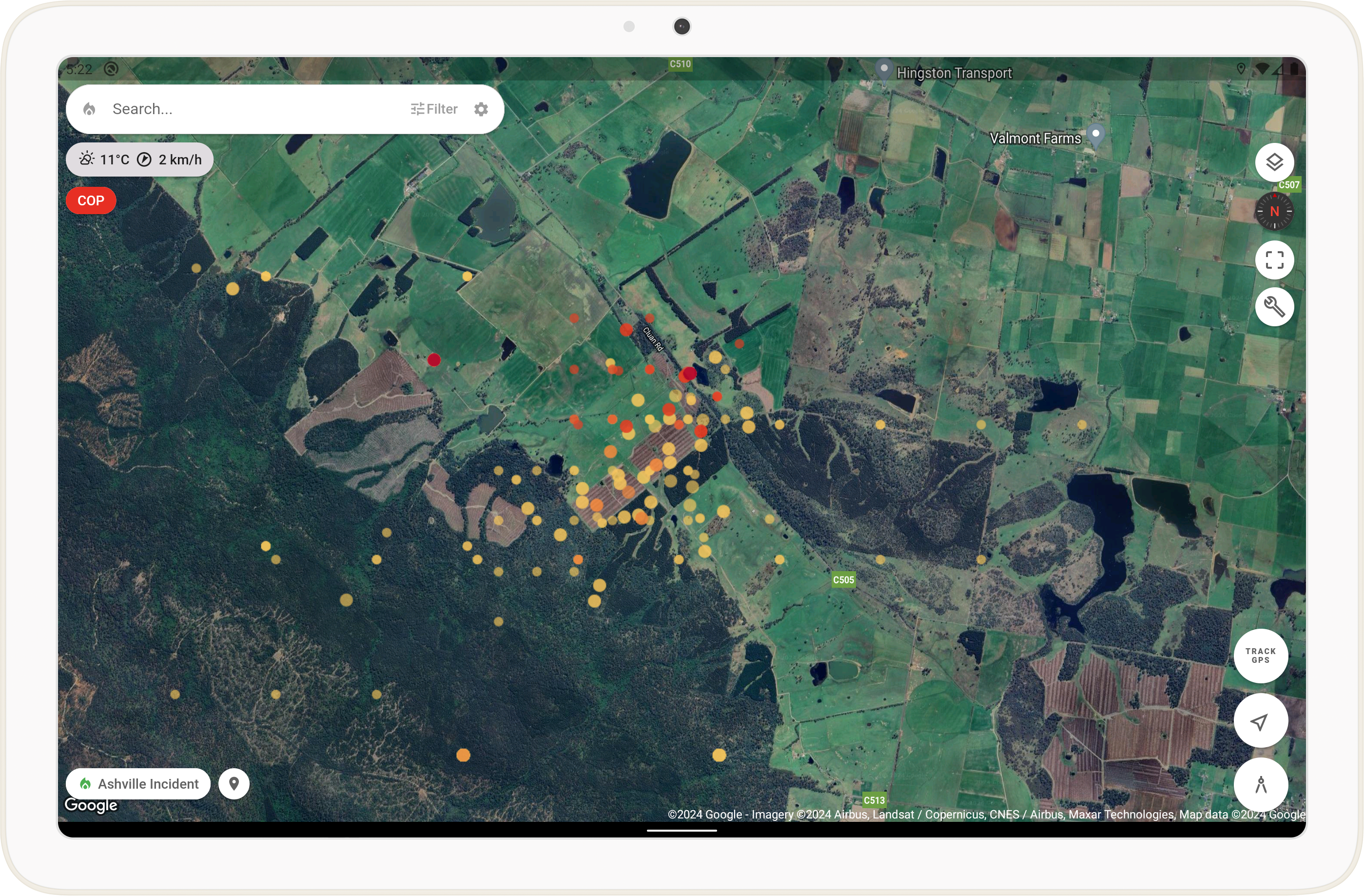
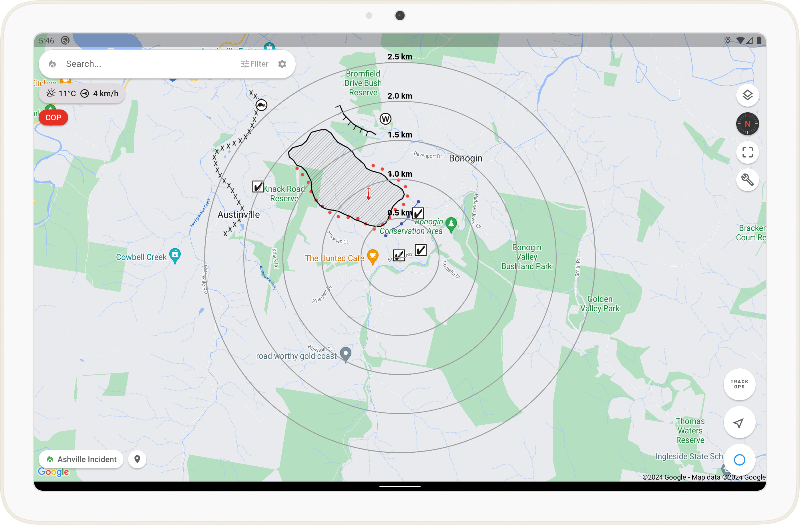
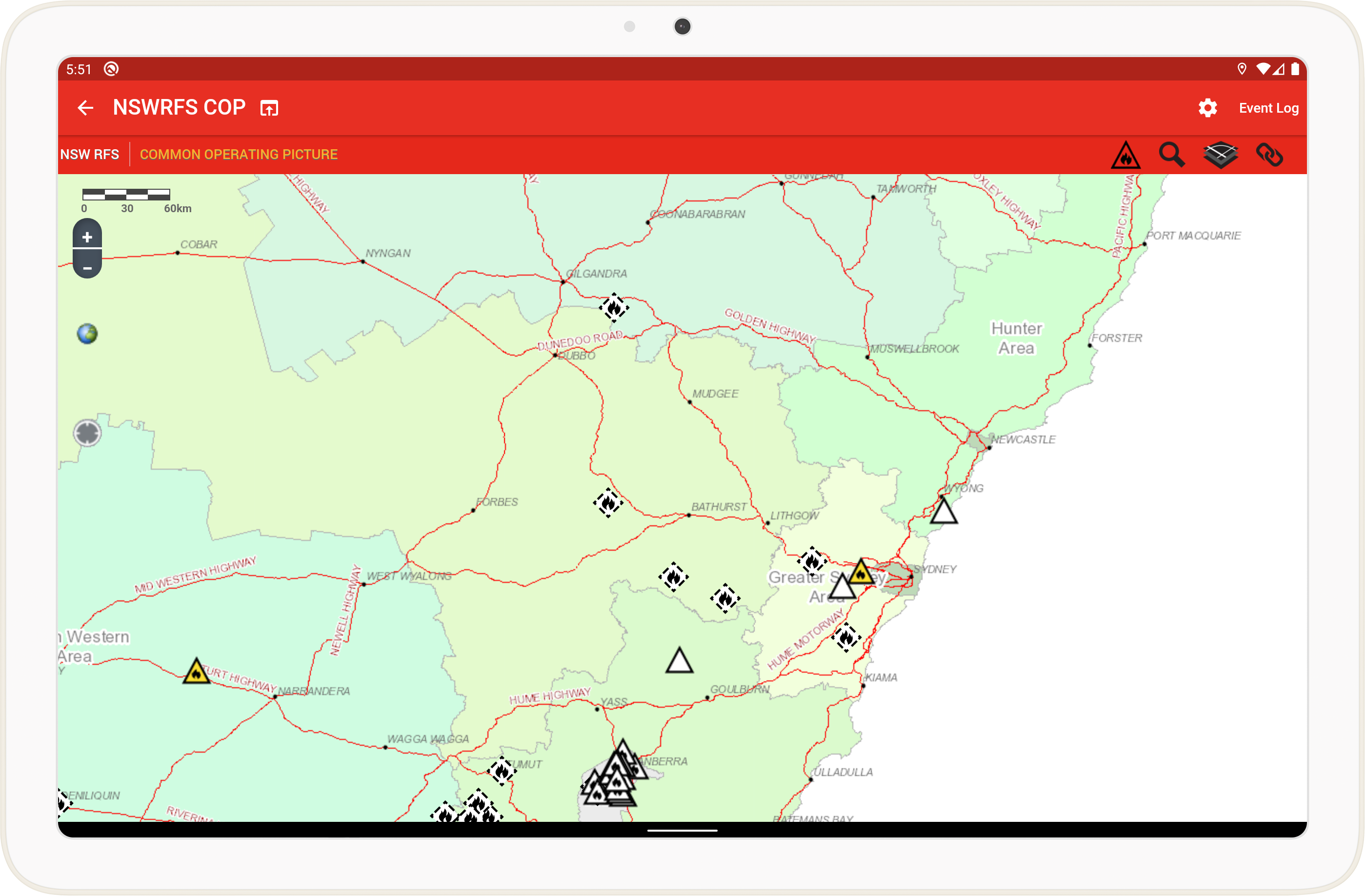
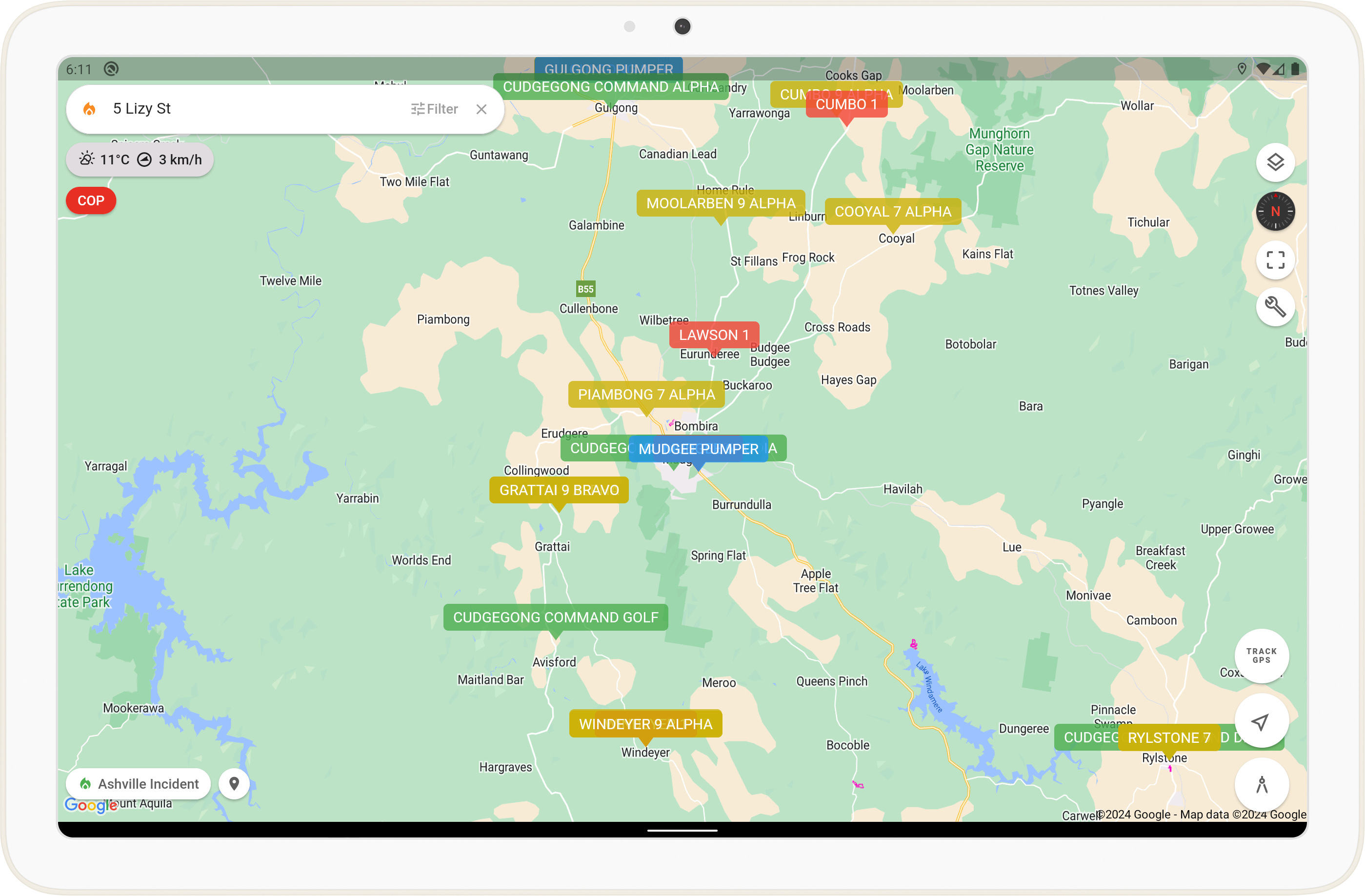
Track user locations, monitor real-time satellite hotspots, and view updated bushfire incidents.
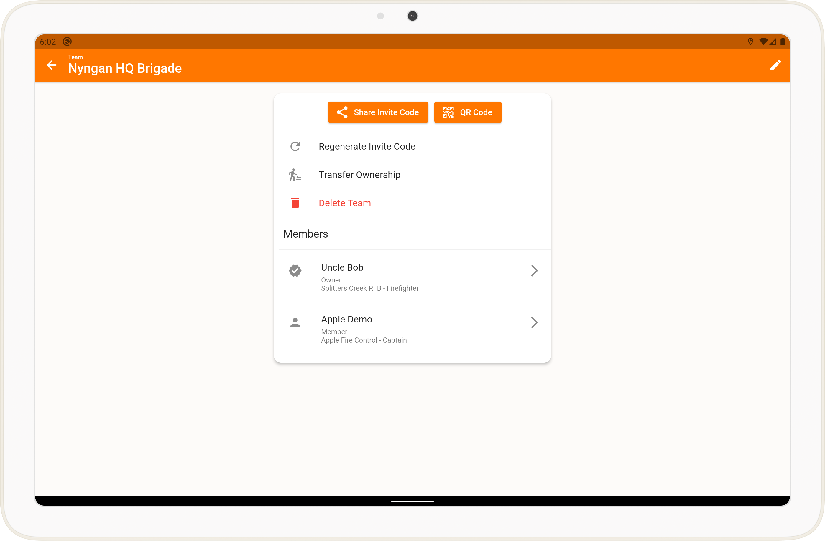
Team Collaboration
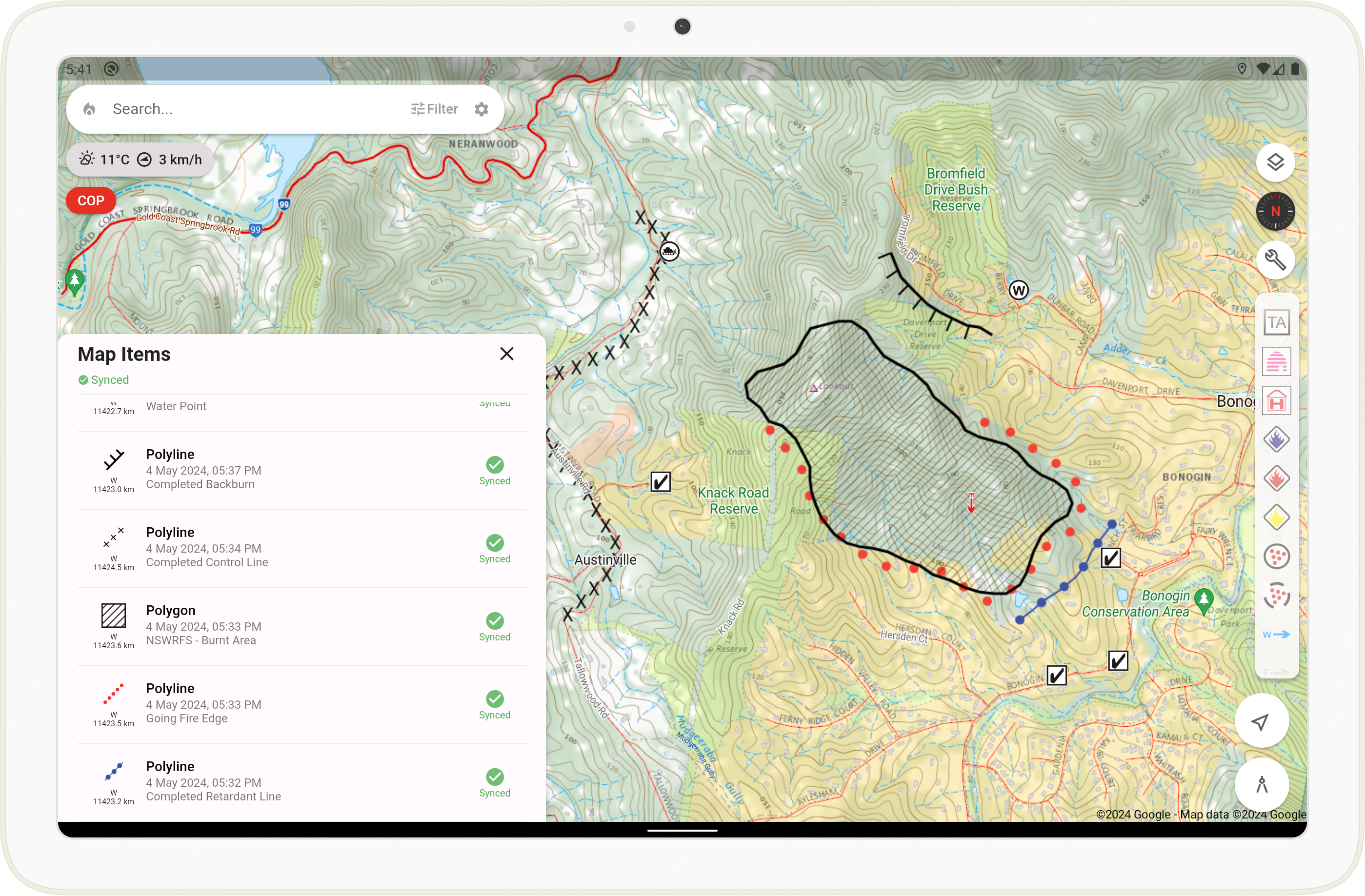
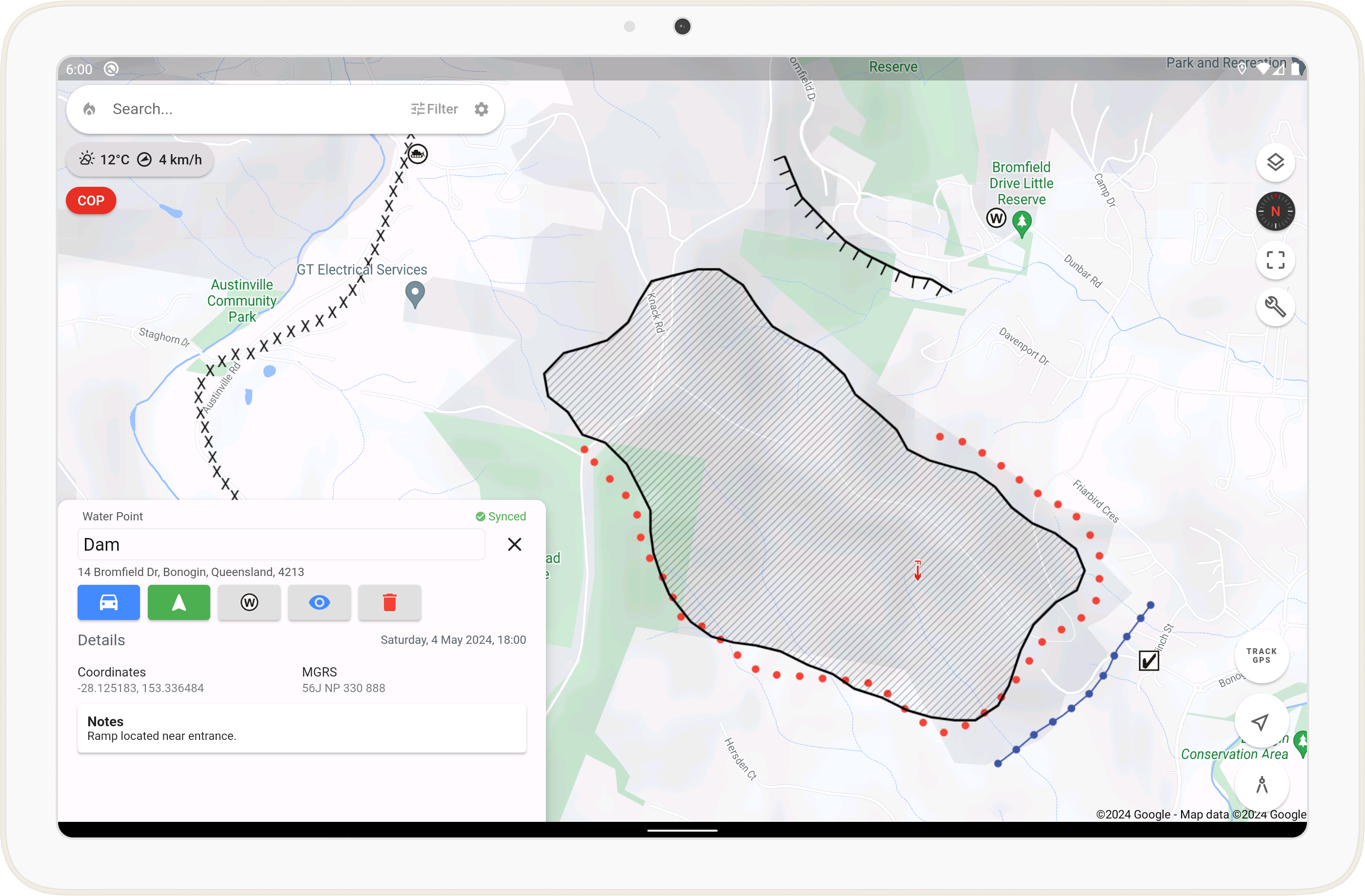
Share and edit maps in real-time with your team. Features seamless offline syncing for remote operations.
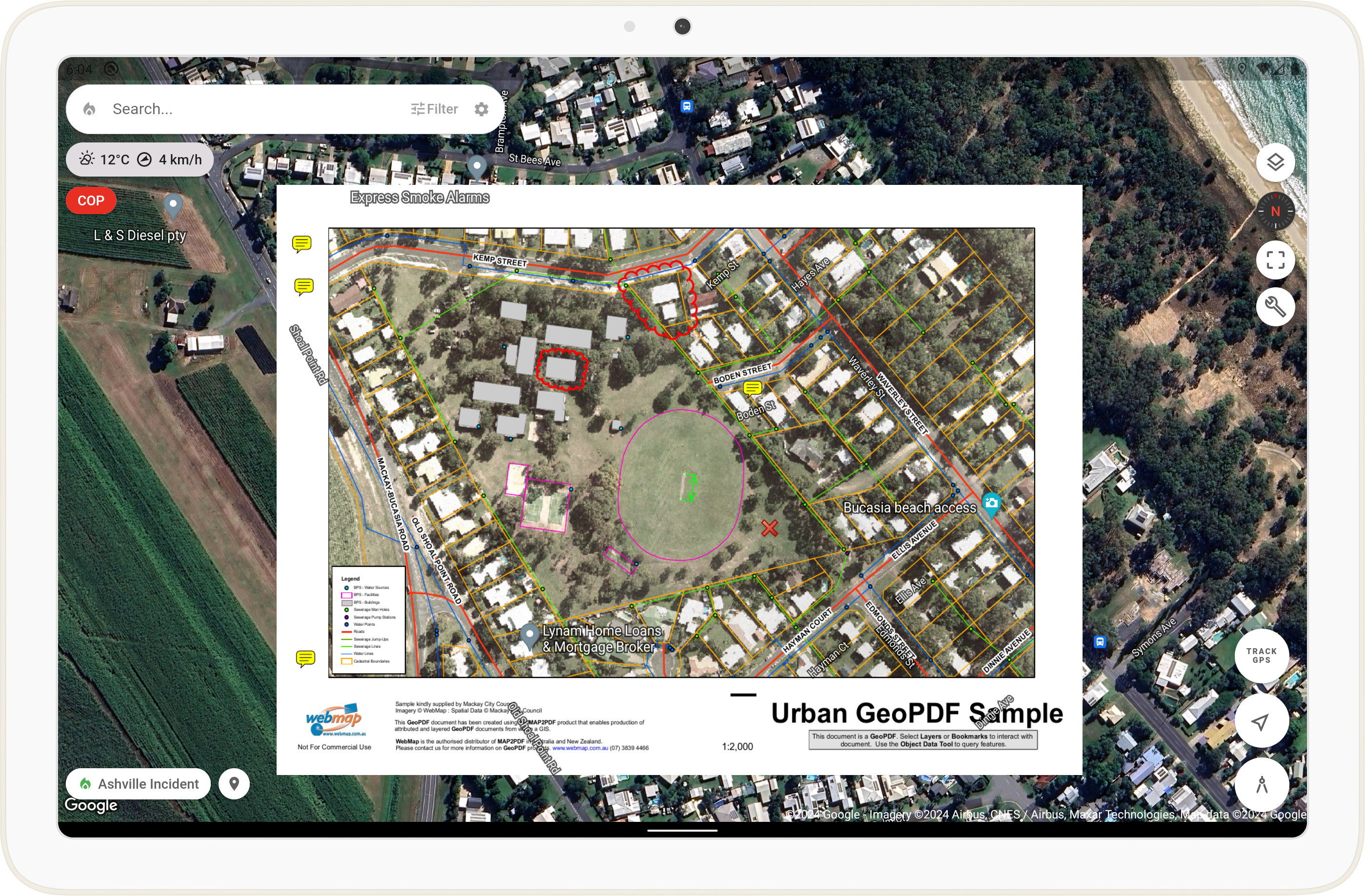
Mapping Tools
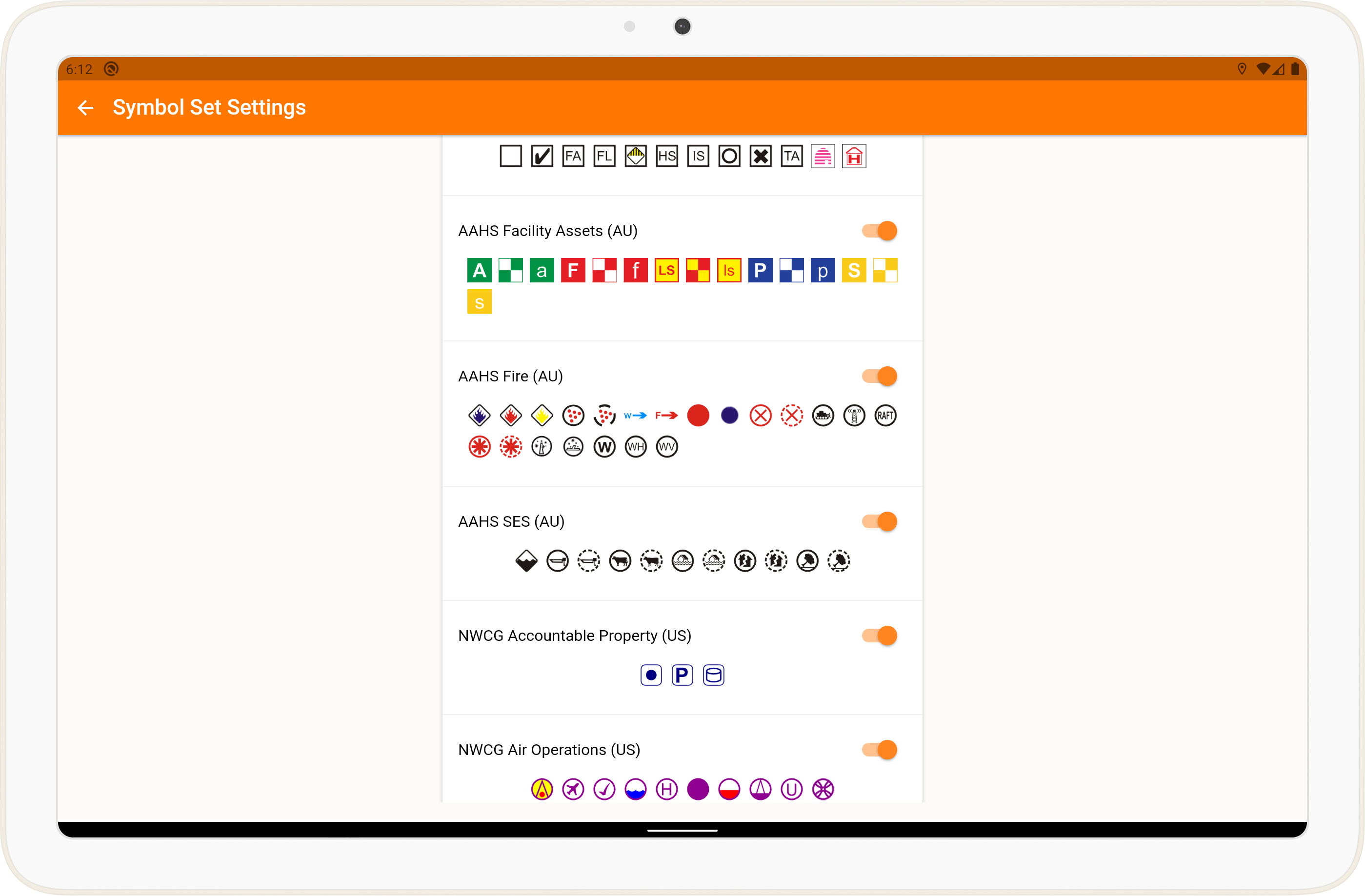
Access worldwide premium topographical maps and aerial imagery. Utilize All Hazards / NWCG Symbology to create detailed maps and calculate distances and areas efficiently.
Advanced Functionality
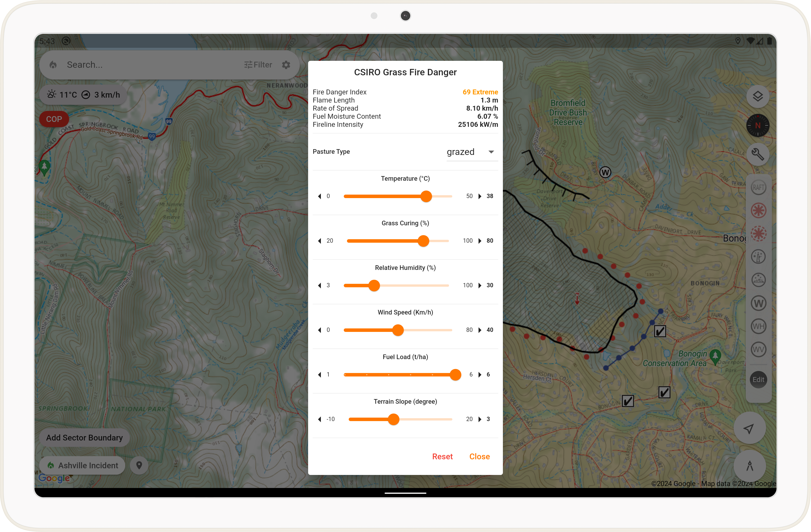
Import and export data in multiple formats such as GeoPDF, KML, and GPX. Utilize built-in calculators for modeling forest and vegetation fire spreads.